


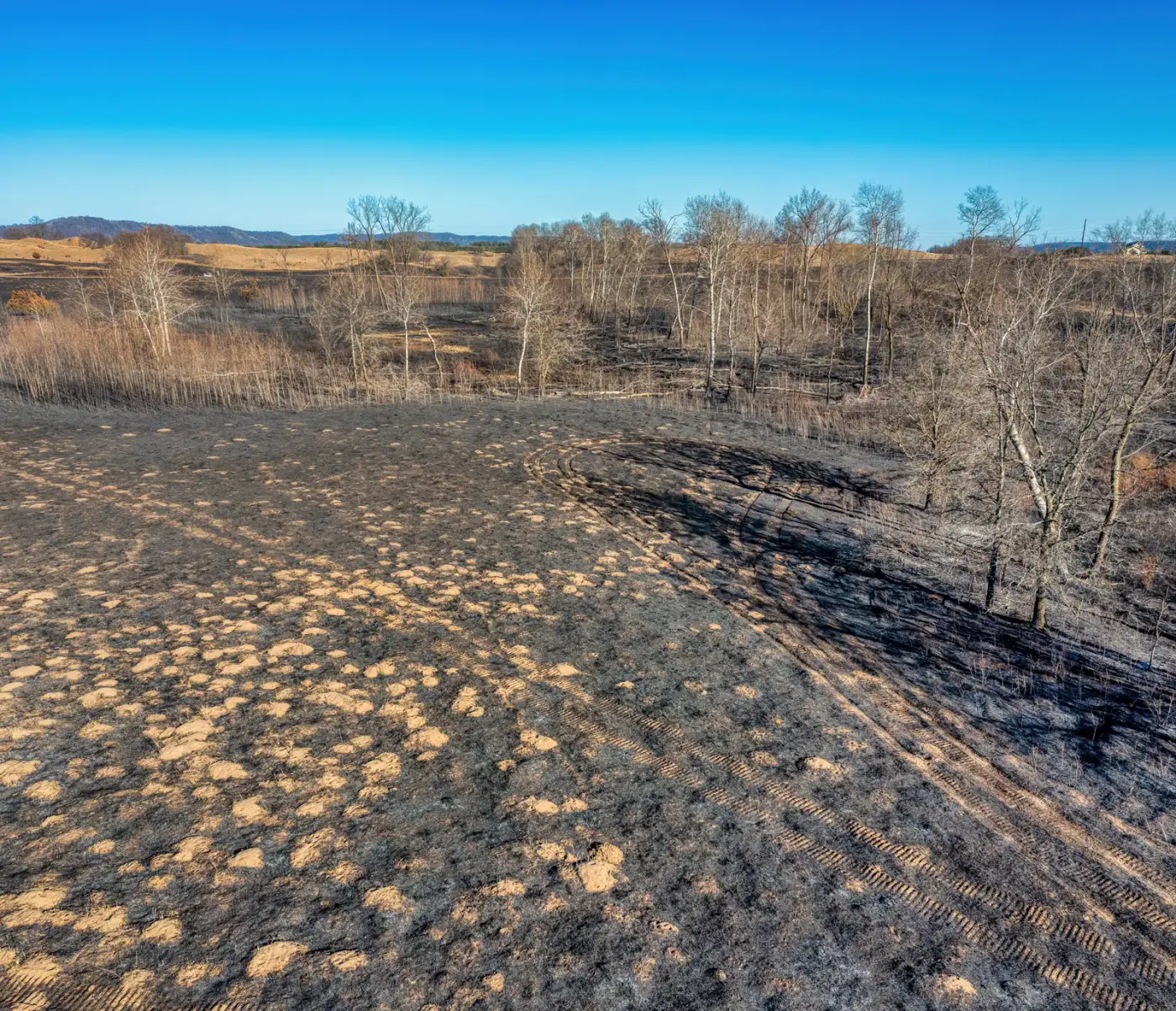
Fire restrictions coming off in Colorado does not mean the fire season is over. Three days after the BLM eased restrictions across parts of western Colorado, the agency announced it will spend mid-September into November deliberately burning seven units in the southwest corner of the state. Add up the acreages it lists and that is about 1,880 acres of BLM ground plus another 700 acres of Bureau of Indian Affairs land. If you boondock the pinyon and juniper country around Dove Creek, Egnar, Bayfield or Olathe this fall, some of it is going to be on fire on purpose.
Here is the list, from the Tres Rios Field Office announcement dated September 11, 2026:
- Cabezon Canyon, about 700 acres on BIA-administered land south of Chimney Rock, part of a larger 4,100-acre project.
- Transfer Road, about 620 acres southwest of Olathe, near the BLM and Forest Service boundary.
- Dawson, about 220 acres northeast of Dove Creek in Disappointment Valley.
- Rabbit Mountain, about 276 acres northwest of Bayfield.
- West Rim, about 240 acres and about 390 acres along the West Rim of the Dolores River, northeast of Dove Creek.
- Summit Point, about 120 acres and about 15 acres northwest of Egnar.
What the announcement does not tell you
It names no closures. Not a closure order, not a boundary, not a road. It gives no ignition dates either, because there are none to give: operations are “weather-dependent and may be postponed, delayed or canceled if conditions are not suitable.”
So the honest answer to “can I camp there in October” is that we do not know, and neither does the BLM yet. What the agency did publish is contacts, which on a moving target is worth more than a date. Britton Quinlan at (970) 884-4332 covers Cabezon Canyon. Cam Shaughnessy covers Transfer Road. Tyler Corbin covers Dawson, Rabbit Mountain, West Rim and Summit Point. Unit maps are attached to the announcement as PDFs.
The smoke is what reaches your campsite
The BLM’s wording is specific, and it matches what fall actually does: “Smoke may be visible during burn operations and could linger or settle in low-lying areas as temperatures cool.”
That is cold air drainage, and it is why a valley-bottom site next to water can be the worst place to sleep during a burn even when the fire is miles away and uphill. Cool night air sinks into the drainage and takes the smoke with it, while a bench a hundred feet above the creek stays clear. If you or someone with you has a respiratory condition, that is not a comfort question.
Crews also “patrol treatment areas for several days afterward,” so a unit that burned last week is still an active work site.
What this changes for you
Not much, if you are paying attention. A prescribed burn is announced, mapped and staffed, which is more than you get from the wildfire it is meant to prevent. The trap is the assumption underneath: that when the Stage 1 and Stage 2 orders lift, the agency is done with fire for the year. It is not.
Before an October trip into the Tres Rios country, call the contact for the unit you are headed to and ask two things: whether ignition is planned that week, and whether any road or area is closed for it. Then look at the signs at the road junction when you get there. A posted notice and the field office’s current instruction beat any website, this one included.
Our Colorado free camping page covers the land types down there and the state’s own BLM stay limit, which is not the national one. Our fire restrictions guide covers what each stage prohibits and why the stage number alone never answers the question.
Sources
- Prescribed burns planned to reduce wildfire risk across southwest Colorado, September 11, 2026 (Bureau of Land Management, Tres Rios Field Office), checked 2026-09-16
- Fire restrictions ease across parts of western Colorado, September 8, 2026 (Bureau of Land Management, Grand Junction Field Office), checked 2026-09-16