
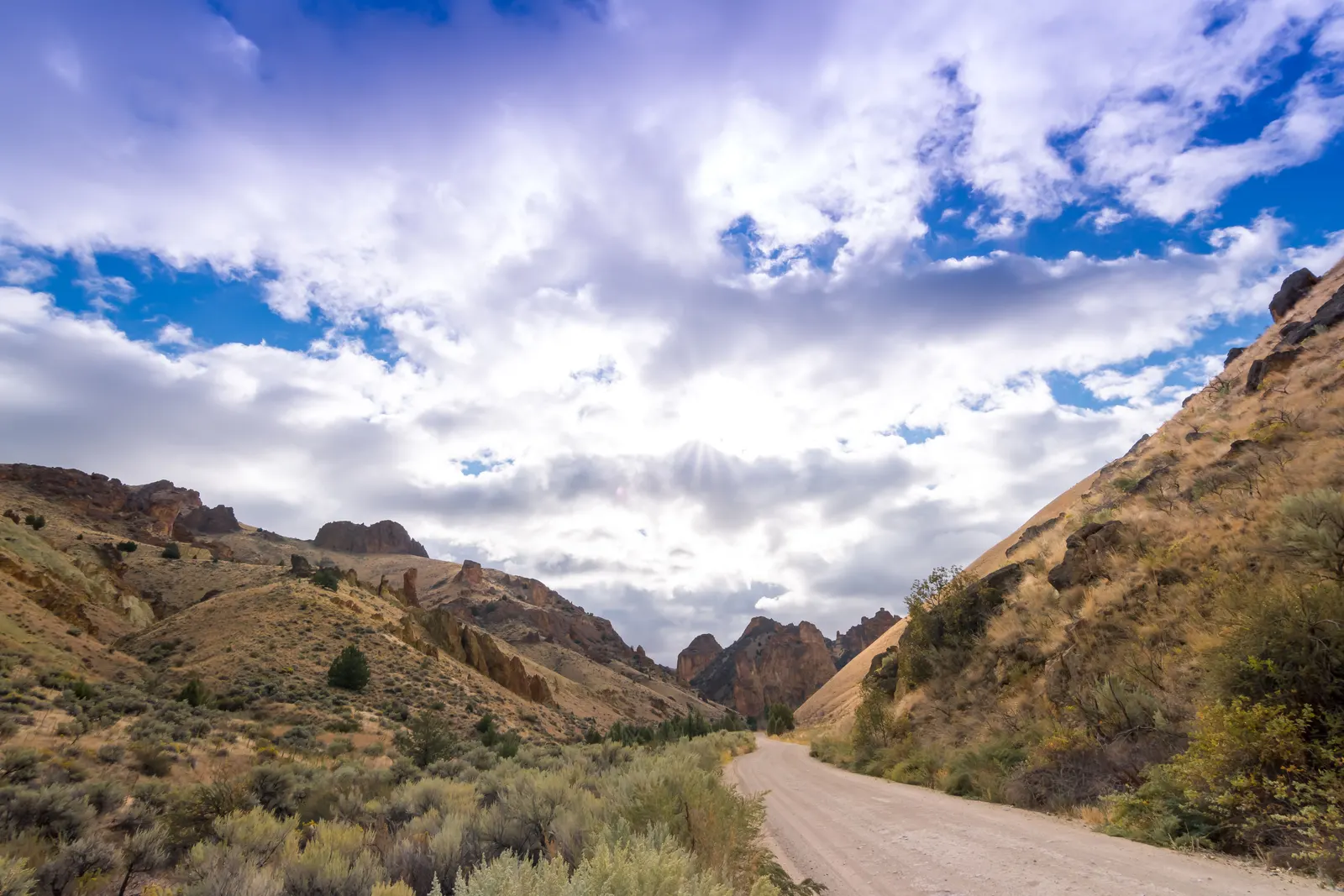
Nearly all BLM land in Central Oregon is closed to the public right now. Not restricted. Closed. If you were planning to boondock on BLM ground anywhere between the Columbia River and Highway 20, that trip is off until the district reopens it.
The Prineville District announced the closures on July 27, 2026. They cover nearly all BLM-administered lands in the district: from the Columbia River south to Mitchell, west to the Deschutes National Forest boundary, north around Lake Billy Chinook, the Lower Deschutes River corridor near Warm Springs, and from Interstate 84 south through Madras, Prineville, and Highway 20 to the district’s eastern boundary. The announcement says “All public access to closed lands is prohibited,” with exemptions for emergency personnel, and that the closures “will remain in place until conditions improve and safe access can be re-established.” Checked August 6, 2026.
The district issued another order on August 5. That one is headed “Emergency Fire Closures,” but its text describes “restrictions and prohibitions on specific activities and equipment,” effective immediately and in force district-wide “until further notice.” It does not list them. It sends you to the signed order.
Two different orders, two different answers
The words get used interchangeably and they should not be.
A restriction leaves the land open and bans particular acts. Central Oregon has a clean example running now. BLM’s river campfire order, announced May 11 and effective May 13 through October 15, 2026, prohibits campfires, charcoal fires, “or any other type of open flame,” including portable propane campfires and wood pellet burning devices, along portions of the Crooked, Deschutes, John Day and White rivers and on BLM land at Lake Billy Chinook and Lake Simtustus. Commercially manufactured lanterns and metal camp stoves fueled by bottled propane or liquid fuel are still allowed. You can camp there. You cannot have a fire.
A closure means you cannot be on the ground at all. The July 27 order is that kind, and the announcement spells out the consequence: violations “may lead to prosecution before a United States Magistrate, fines under 18 U.S.C. 3571, imprisonment for up to 12 months, or both.”
So “are there fire restrictions where I’m going” and “is it open” are two separate questions, and answering the first tells you nothing about the second.
Where to read the actual orders
BLM Oregon and Washington publish every current fire prevention order and emergency closure on one page, by district, with dates and links to the signed PDFs. On August 6, 2026 it carried active orders for the Burns, Coos Bay, Lakeview, Medford, Northwest Oregon, Roseburg, Spokane, Vale and Prineville districts. Read that, not an app.
One honest gap: the Deschutes National Forest sits inside this same country and runs its own orders, and we could not read them. Every request to fs.usda.gov was refused on August 6, 2026, so we are not going to tell you what the forest next door allows. Call the ranger district.
What to do this week
If your route crosses Central Oregon, plan around it rather than driving out to find a gate. The Prineville District front desk is 541-416-6700. Our Oregon free camping page covers what public land exists in the state, and how fire restrictions are written covers reading an order.
Then take the sign seriously. A posted closure notice and whoever manages that ground beat this page, or any page, on the day you show up.
Sources
- Widespread Emergency Closures Implemented across BLM Prineville District (Bureau of Land Management)
- BLM Announces Emergency Fire Closures for Prineville District, August 5, 2026 (Bureau of Land Management)
- Annual campfire restrictions to start on BLM rivers in Central Oregon, 2026 (Bureau of Land Management)
- BLM Oregon/Washington Fire Closures and Restrictions