
The method is four steps: scout the ground on a satellite map, confirm the spot is legal and drivable, call the office that manages it, then arrive with daylight and backups. It works because it does not depend on anyone else’s pin. A shared coordinate is a spot that everyone else also has, which is how quiet places get overrun and then closed. Learning to read the land yourself finds sites the apps have never listed, and it is the skill that separates people who camp free comfortably for years from people who give up after one bad night at a full pullout.
This guide is the fieldcraft. For the map mechanics, which layers show public land and how to read a Motor Vehicle Use Map, pair it with our how to find sites guide.
Step 1: Scout on satellite
Open a satellite map over public land near your route and read the ground before you ever drive it.
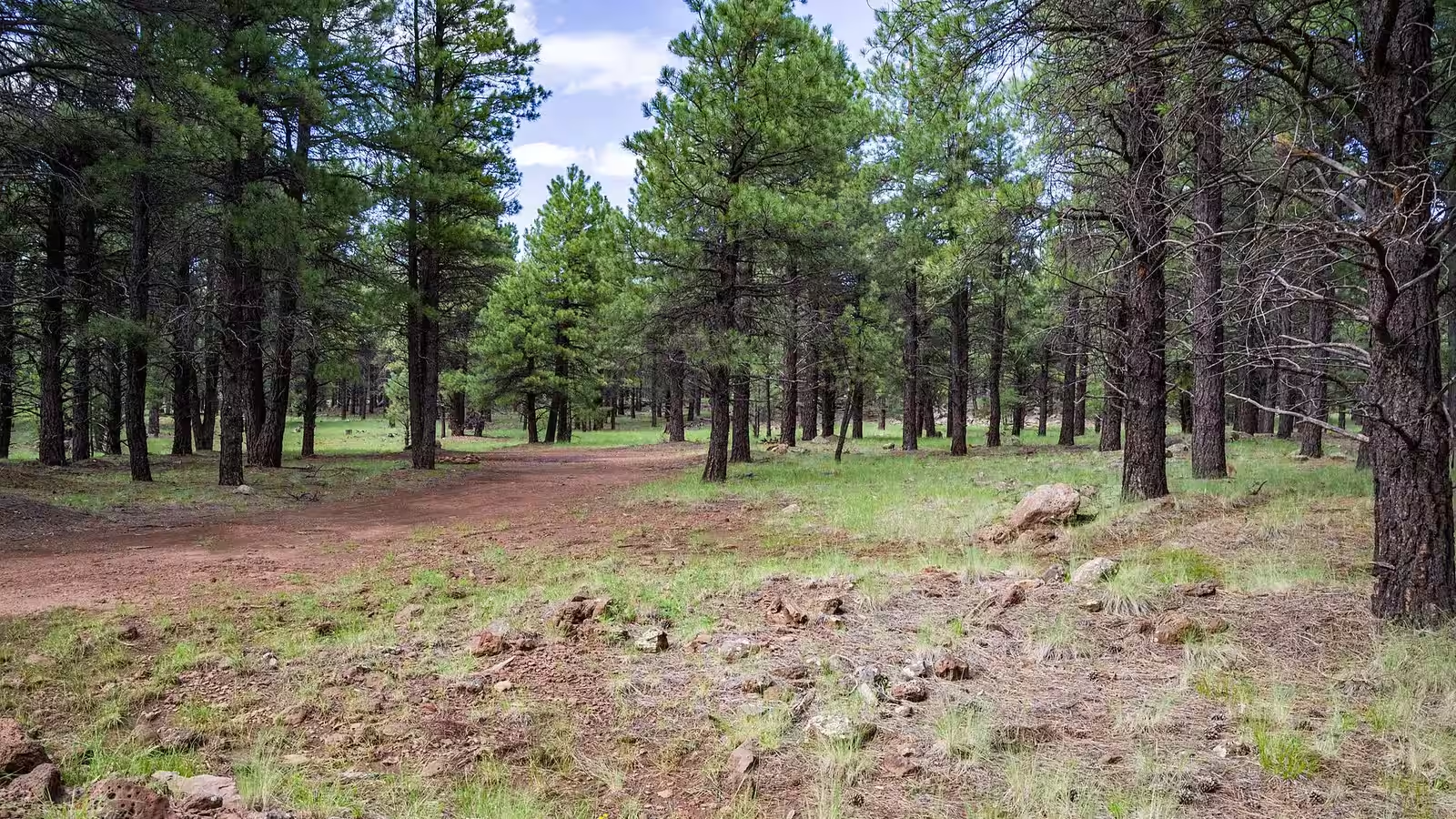
What you are hunting for is an established site: a bare pullout off a legal road, an old fire ring, a flat patch of dirt where the vegetation is already gone. Those are the spots to reuse. Camping where people have camped before concentrates the impact instead of spreading it, which is exactly what the agencies ask for and what keeps areas open. You are not looking to carve a new site out of untouched ground.
Read the terrain for the boring virtues: flat, high, and dry. A level spot means you sleep without chocking the whole rig. High and dry means you are not in the path of water. Be suspicious of anything green or low on the image: meadows, drainages, and wet ground look inviting and are the worst places to camp. They damage easily, they hold water that will bog a rig, and camping in a meadow is the kind of thing that gets a road gated.
Then trace the approach road and be honest about your rig. A graded gravel road is one thing. A rutted two-track climbing through trees is another, and a 30-foot trailer that fits it going in may have nowhere to turn around at the end. Match the road to the vehicle you actually drive. If you cannot tell from the image whether the surface and grade will hold your rig, that is a question for step 3, not a thing to find out at dusk with no turnaround.
Last, confirm the spot is on public land. Federal boundaries are full of private inholdings and checkerboarded parcels, often unfenced and unsigned. On an ownership layer, make sure your exact spot, not just the road nearby, is public.
Step 2: Confirm it is legal and drivable
A good-looking spot on satellite is a candidate, not a plan. Two checks turn it into a plan.
First, is it legal to camp there. On BLM land, dispersed camping is generally allowed, free, up to 14 days in a 28-day period, with local field offices setting stricter limits (BLM camping page, verified July 2026). On national forest land, most of the forest is open to dispersed camping outside developed sites, but only if you reach it on a road the forest has designated open. That is the second check, and it is the one people skip.
Second, is the road legal and drivable. Pull the forest’s Motor Vehicle Use Map. Its governing rule is blunt: routes not shown on the MVUM are not open to public motor vehicle travel, no matter how clear the two-track looks on satellite or Google Maps (Forest Service MVUM FAQ, verified July 2026). Legal is not the same as passable, either. The FAQ says as much: a road open to all vehicles can still be a bad idea in a motorhome. Read the surface, the grade, and the season, and match them to your rig honestly.
Our how to find sites guide walks through both maps in detail.
Step 3: Call the ranger district or field office
This is the highest-value five minutes in the whole method, and it is the step almost everyone skips. The Forest Service’s own dispersed-camping guidance tells you to contact the district office to learn what is open and what the local limits are. Rangers answer these questions all day.
Have the road number or name ready and ask five things:
- Is dispersed camping allowed along this road right now.
- Are there current fire restrictions, and do they ban campfires, stoves, or both.
- What are the road conditions, and is it passable for my rig. Name your rig: a Sprinter van and a 35-foot fifth wheel get different answers.
- What is the stay limit here.
- Are there any closures, gates, or washouts I should know about.
No app knows this morning’s closure or that the bridge on that road went out in spring. The person who posted the closure does. This call is also where you turn a satellite guess about road suitability into an answer.
Step 4: Arrive with daylight, and backups
Two habits keep the last hour from going wrong.
Arrive before dark. Give yourself at least an hour of daylight, more if the road is long or rough. Daylight is what lets you read the actual ground: find a level spot, spot the turnaround before you commit to it, judge whether the surface will hold your rig, and see the drainage you should not park in. Arriving after dark is how people get stuck in soft sand, block a narrow road, set up over a low spot, or wake up to discover they camped on someone’s private inholding. Scout the last few miles with light to spare.
Carry two or three backups. The first choice fails often enough that you should never have only one. The gate is locked. The road washed out. The pullout is already taken. The surface is softer than it looked. The spot is just wrong up close, too slanted, too exposed, too close to the road. Line up two or three options along the same corridor, and know your legal fallback: the nearest rest area, a business that allows overnight parking, or a town. A failed spot at dusk should be a shrug and a drive to plan B, not a scramble.
Camp so the spot is still there next year
Finding your own spot comes with the obligation to keep it findable. Reuse existing sites. Pack out everything, including wastewater: Forest Service sanitation rules require you to haul out or use provided facilities, and dumping a grey tank on the ground is both prohibited and the fast way to get an area closed (36 CFR 261.11). Follow the Leave No Trace principles, and see our note on grey water for the tank specifically.
And keep the spot to yourself, or share it the way that does not wreck it. Posting exact coordinates of a quiet place is how it stops being quiet: everyone drives to the same pin, the area gets trashed, and the agency response is a fee, a gate, or a designated-sites-only rule. Point people at the method and the general area, a forest or a corridor, not the pin. That is the whole reason this guide teaches you to find your own instead of handing you someone else’s.
Then check the state
The land rules above are federal. Stay limits, rest-area rules, and vehicle-sleeping laws vary by state, and our state-by-state pages cover all 50, each citing its official source with a last-verified date and saying “not verified” where we have not confirmed a rule.