

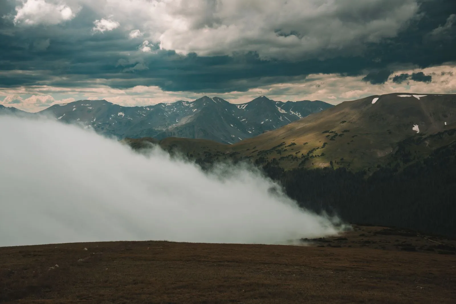
Colorado’s monsoon season is on. CDOT warned drivers on July 22 about flash flooding, mudslides, and debris flows tied to the storm system that spread across the state that Wednesday and Thursday. If you are boondocking in a canyon downstream of a fire burn scar, this is the safety piece that matters more than any gear post.
What the risk actually is
Burn scars behave like paved surfaces. The fire cooks the soil into a water-repellent layer, and vegetation that used to slow and absorb rain is gone. When a heavy afternoon thunderstorm parks over a scar, the water runs off, picks up ash and rocks and dead timber, and comes down the drainage as a debris flow. That is not just muddy water. It is a moving wall carrying whatever it lifted along the way, including entire trees.
CDOT’s alert names the Ferris and Gold Mountain fire burn scars as high-risk zones for the current pattern. And CDOT flagged I-70 in Glenwood Canyon as subject to proactive closure “due to imminent danger from torrential rainfall”: the corridor has been shut for exactly this reason in recent years.
The point is not that the entire state is dangerous. It is that a specific set of dispersed camping areas, the ones downstream of recent burns, carry a real risk on a specific set of afternoons: when a monsoon cell parks over the drainage above your camp.
What “downstream of a burn scar” really means
Not every campsite next to a burned hillside is downstream. What you care about is whether the drainage above you passed through burned ground before it reaches you. A steep gulch or a slot canyon below a burn is the classic setup. A flat open valley without a canyon overhead is a different situation.
You do not have to be inside the scar’s boundary for it to reach you. Debris flows can start miles above and pour down a drainage without warning to anyone camped below. That is why the standard advice, that you should not camp in a canyon bottom or dry wash during monsoon season, applies especially hard when there is a fresh scar in the drainage overhead.
What to do this month
Three moves that cost nothing.
Check COtrip.org or the COtrip Planner app before you head to a site. Real-time highway closures are a useful proxy for where flows have already started. If I-70 in Glenwood Canyon is closed, that means the pattern is active in the Roaring Fork basin and you should not be at a canyon-bottom dispersed site nearby.
Read the National Weather Service point forecast for your intended campsite and note whether Flash Flood Watches are in effect. Move higher and out of the drainage bottom if they are. Even a 20-foot rise off the wash makes a real difference.
If you are near a named recent burn, call the local ranger district office. The Forest Service knows exactly which drainages they consider unsafe during storms and will tell you which nearby dispersed areas are still fine.
Real risks stated plainly: this is one of them. A wet forest road can strand you; a debris flow can kill you. Neither is common on any given night. Both are real enough to plan around during monsoon season, which typically runs through late August in Colorado.
For an overview of where dispersed camping is allowed in the state, see our Colorado free-camping page. And as always, the posted sign at the trailhead or dispersed area, and the current guidance from the ranger district, outrank any website, including ours.