

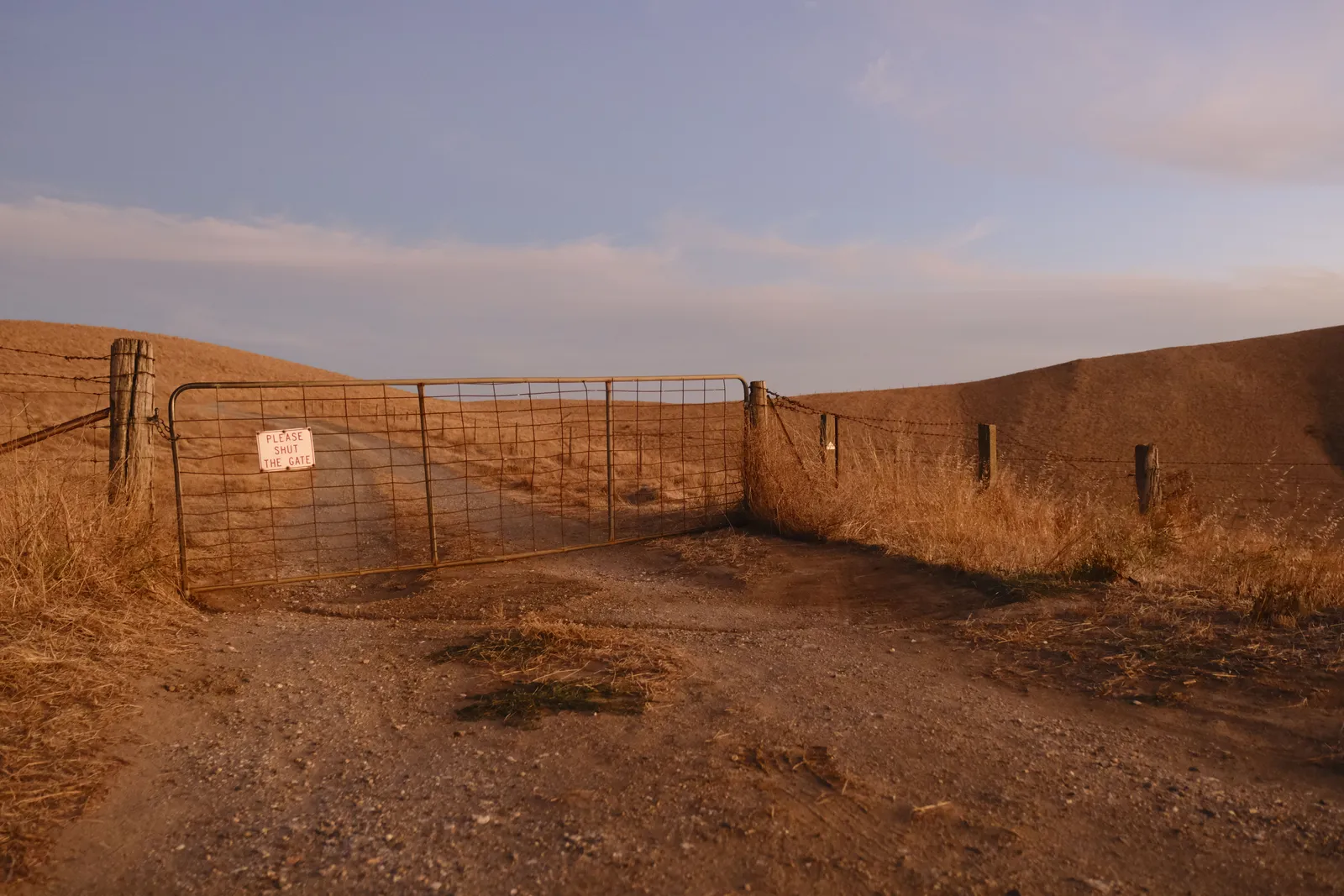
If your fall route runs through Idaho, the gates that will close in front of you are already posted with dates, and the first ones listed shut on October 1. BLM Idaho keeps them on one advisories and closures page, read August 18, 2026, alongside the fire closures everyone is watching this month.
The fire closures change weekly. The seasonal ones do not change at all, which is exactly why they catch people: nobody checks a page for news that was already true in April.
The calendar, as published
- October 1 to December 31. Challis Field Office: “Motorized use is prohibited” at Goldburg WSA, Burnt Creek WSA, and the East Fork to Hwy 93 seasonal closure area. The stated reason is to “improve non-motorized big game hunting opportunities and reduce unauthorized off-road use.”
- October 1 to May 31. Pocatello Field Office: five named Deep Creek Mountains routes closed to wheeled motorized vehicles.
- November 16. The heavy date. Pocatello’s Chinese Peak-Blackrock Canyon trail system closes to motorized and mechanized vehicles until April 14. Soda Hills upper gates and the Bannock Range routes near Goodenough Creek close until May 14.
- December 15 and 16. Upper Snake closes Stinking Springs until May 1. Challis closes Birch Creek, Carlson Hills, Donkey Hills, Old Stage Road and Willow Creek Summit until April 30. Salmon closes the Agency Creek primitive roads until April 30, snowmobiles included.
- January 1 and January 5. Egin-Hamer restrictions begin, per the page’s text. Soda Hills lower gates close until May 14.
Up north, the Coeur d’Alene District lists Blackwell Island Recreation Site under an “Annual Seasonal Closure: October-May.”
The distinction that decides your trip
Most of these close the road, not the ground. Challis says it outright: “Non-motorized use is allowed year-round.” Several keep snowmobiles legal even while wheels are out. If you are hunting on foot or skiing in, a motorized closure is not aimed at you.
Two are not like that. Stinking Springs closes “to all motorized vehicles and human entry” for mule deer. The Egin-Hamer area “closes BLM-managed public lands to human entry every year to protect wintering deer, elk and moose,” ending at sunrise April 1 south of the Egin-Hamer Road and sunrise May 1 north of it. Human entry means you, on foot, with no vehicle involved.
One wrinkle to take to the field office rather than from us: the page heads that section “Dec. 15 - May 1: Stinking Springs, Egin-Hamer Areas,” then says below it that Egin-Hamer restrictions “begin Jan 1.” Two start dates, one area, one page. Call Upper Snake before planning around either.
For anyone sleeping in a rig, the motorized-versus-entry difference is academic anyway. A closed road is a closed trip. Camp is where you can drive.
Two things the dates do not promise
Reopening dates move. Stinking Springs “ends at sunrise May 1, but the opening day could change depending on weather conditions,” and the Chinese Peak closure “may be extended if wet winter conditions persist later than April 15.” Treat every spring reopening date on that page as an intention, not a promise.
And this page is an index, not a boundary map. Every listing points at a travel map and a field office number for a reason: the closure has an edge, and knowing which route number sits inside it is the actual work. Our guide to motor vehicle use maps covers reading those, and the Idaho free camping page covers the rest of the year.
Print or download what you need before you go. There is often no signal at the gate, and the sign on the gate is the answer that counts.