
The BLM published a fall hunting notice for Colorado on August 25, and one line in it is worth more to a dispersed camper than the rest of the page combined: a road drawn on a public land map is not proof you may legally drive it.
The exact wording, from the BLM’s announcement, read August 26, 2026: “Roads shown on public land on agency maps are generally open, but conditions vary. Some roads end at private property, and access may be legally restricted. Do not cross private property without permission. Easements may allow public passage, but access can change with ownership.”
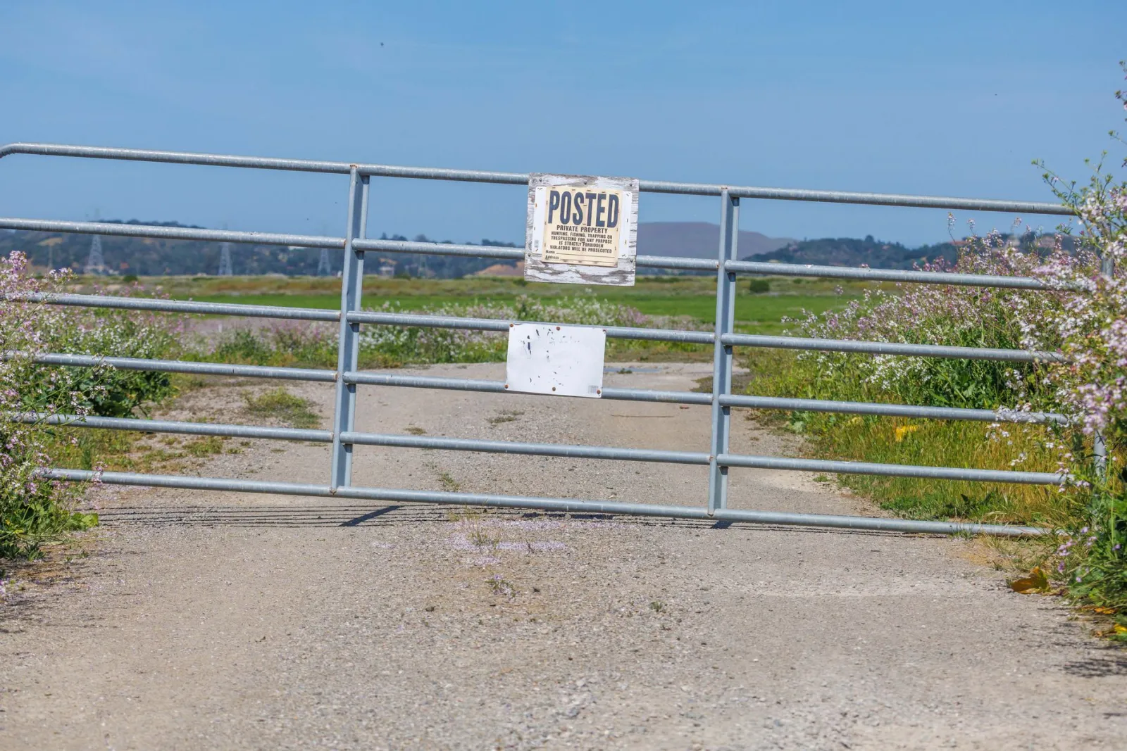
That is an agency telling you its own maps are not a permission slip. In western Colorado, public and private ground is intermingled to the point that a route can start on BLM land, cross a quarter mile of somebody’s ranch, and end on BLM land again. The map shows a continuous line. The middle of it is trespass.
Why this bites campers, not just hunters
The notice is aimed at hunters, but the access problem does not care why you are driving. If you pick a dispersed site off a mapping app because a road appears to reach it, you are relying on exactly the assumption the BLM just warned against. The app is drawing the road. It is not adjudicating the easement.
The same notice says to “stay on designated routes and avoid driving or parking on vegetation, especially during periods of high fire danger.” Designated is the operative word. A route existing is not a route being open to you.
The rest of what it says
Fire: “Many BLM-administered public lands across Colorado are currently under Stage 1 fire restrictions.” Under Stage 1, “campfires are generally allowed only in agency-provided fire grates at developed recreation sites.” The notice adds that restrictions vary by location, which means the statewide sentence does not settle your specific spot.
Gear left out: hunters “may use temporary blinds, tree stands and game cameras on public lands at their own risk, provided they do not damage resources, are not left unattended for extended periods, and are removed when no longer in use.” Permanent structures and cutting vegetation are not allowed. Note what is missing: “extended periods” carries no number in this notice, so it is not a limit you can plan against.
Trash: pack out food, trash and spent ammunition.
What to do
Before a fall trip, get a current land status map for your unit rather than a road map. The notice says a current map “is essential, particularly in areas where public and private lands are intermingled.” Then call the field office that manages the ground and ask specifically whether the road you intend to use has public access for its whole length.
Expect company. The notice says most BLM land is open to hunting unless specifically prohibited, so from now through fall the quiet road you found in July is somebody’s access route.
And whatever the map shows, a gate, a fence and a posted sign win. That applies to this page too.
For what Colorado’s public land allows, see our Colorado free camping page and the boondocking hub.